
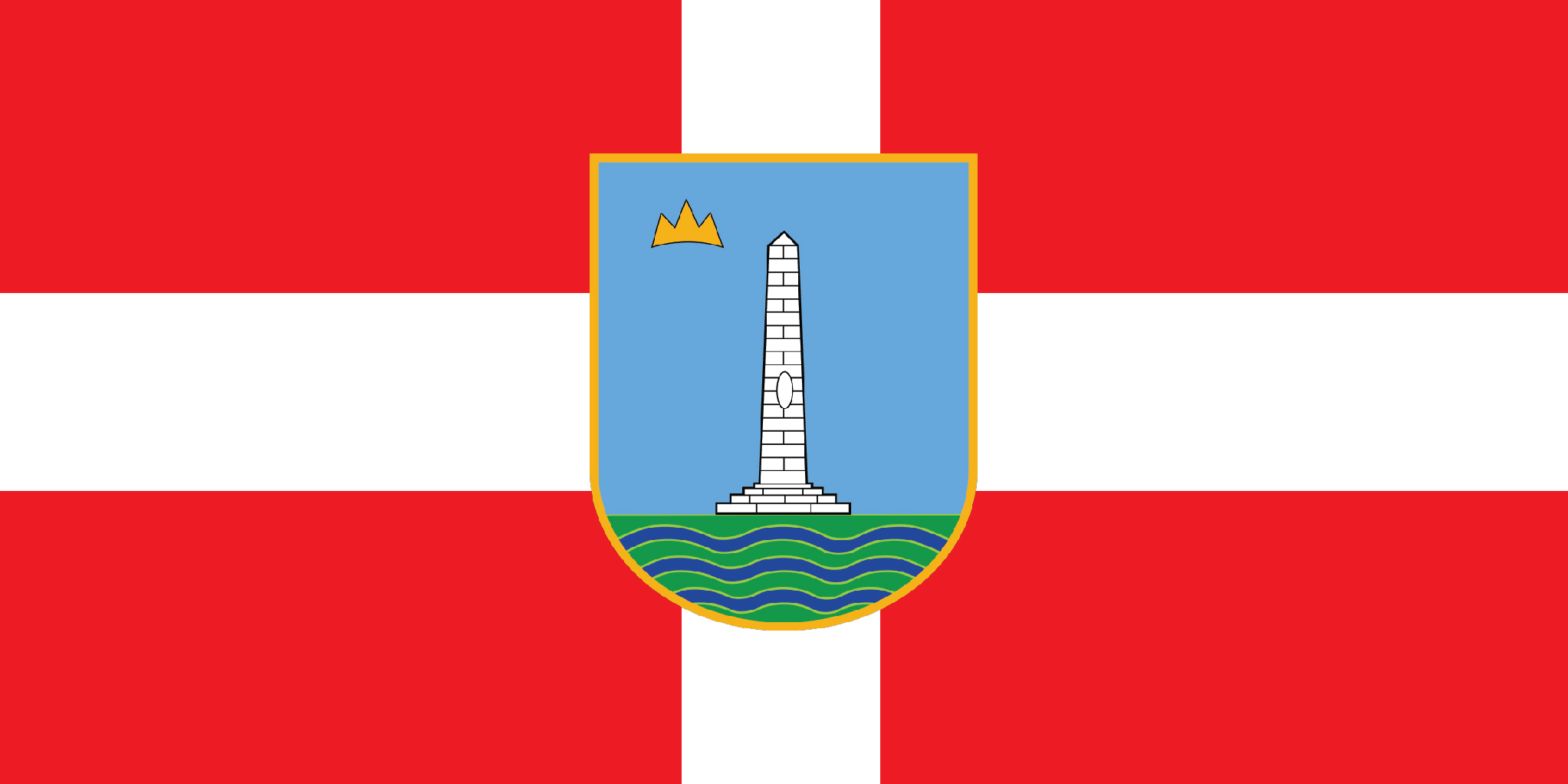
Livno
Livno (Croatian pronunciation: [lǐːʋno]) is a city and the administrative center of Canton 10 of the Federation of Bosnia and Herzegovina, an entity of Bosnia and Herzegovina. It is situated on the river Bistrica in the southeastern edge of the Livno Field at the foot of Krug mountain and rocky hill Crvenice, it is the centre of the Canton 10 which mainly covers an area of the historical and geographical region of Tropolje. As of 2013, it has a population of 37,487 inhabitants.
The town, with the remains of the antique architecture and the old town from the 9th century, first mentioned in 892, developed at the crossroads of roads between the Adriatic coast and inland, i.e., regions of Bosnia, Dalmatia, Herzegovina and Krajina.
Livno is 96 km from Split, 127 km from Mostar, 167 km from Banja Luka and 212 km from Sarajevo.

History
The plains of Livno have been populated since approximately 2000 BC. In the late Bronze Age, the Neolithic population was replaced by more Indo-European tribes known as the Illyrians. The region was inhabited by Illyrian tribe of Dalmatae which capital was Delminium in today's Tomislavgrad. They left remains that testify about their presence in this area. The most important of them are the gradine, remains of Illyrian settlements which were distributed along the Livno Field. The three most important are Velika gradina, Mala gradina and Kasalov gradac.
After the Roman conquest of the area, it was part of the province of Dalmatia. During the twenties of the first century AD, Roman government built a road connecting Salona, a city on the coast with Servitium, a city at the peripanonic lowlands. Its route passed through the Livno Field where two road stations have been established. The station of Pelva was located at the area of village Lištani and in the area of Livno station Bariduo was based.
Livno celebrates its founding date as 28 September 892 AD, being mentioned in a document from Duke Mutimir which was released at that time. It was the centre of Hlebiana županija (province) of the Kingdom of Croatia, as mentioned in the tenth century work De Administrando Imperio (chapter 30). From 1199 Emeric until 1326 Mladen II Šubić of Bribir, who was a resident of Livno, it was part of the Chelmensis territory. From 1326 until 1463 Livno was part of the Bosnian Kingdom. One of the noble families of the Bosnian Kingdom bought Livno, Duvno, and Kupres (12th to 13th century) then called "Tropolje," (Three Fields).
The beginning of 15th century saw the Ottoman Empire advance, invade, and occupy Bosnia for the next 400 years. Mosque complex in the picture (left) the Hajji Ahmed the Ducat Minter's Mosque (more commonly known as the Glavica ("Head") Mosque, called after the knap above town on which it is erected) is one of the most recognizable architectural symbols of Livno. Constructed upon design by Mimar Sinan in 1574. (some date to 1587), it is situated on a hill overlooking the old town of Livno, the river Bistrica and the spring Duman in the upper section of the old town of Livno. The mosque complex consists of a compact main building of the mosque under a dome and uncharacteristically short minaret, with a clock tower which was erected around 1659, and is still in use today. Within the perimeter is an almost 500-year-old necropolis with characteristic early Bosnian Muslim tombstones and later ones.
In 1878 Livno was occupied by the Austro-Hungarian forces. Soldiers from Dalmatia and an infantry division from Osijek fiercely fought against 3.000 Ottoman and Muslim militias around Livno, finally capturing the town on September 27th.
From 1918 it was part of the Kingdom of Serbs, Croats and Slovenes. In 1929 the kingdom was renamed the Kingdom of Yugoslavia and divided into nine banates (banovine). Livno was divided into the Littoral Banovina, with its centre in the city of Split. This division brought Livno politically closer to Croatia. In 1939, the banates were further redrawn so that there was a Croatian banate (Banovina Hrvatska) of which Livno was also part.
From 1941-45, Livno was part of the Axis Independent State of Croatia, and was labeled as a pro-Ustaše region.
After the end of World War II, Livno was a part of Socialist Republic of Bosnia and Herzegovina in Yugoslavia.
After Yugoslavia collapsed in 1992, and Bosnia and Herzegovina become independet state, war started in Bosnia and Herzegovina. Finally with the Dayton's agreement, war in Bosnia and Herzegovina stopped in 1995.


